2026 Snowpack Lidar Measurements and Data Products
Map of proposed 2026 activities:
The following basins will be surveyed (number of flights pending):
Blue River above Dillon Reservoir
Conejos
Dolores at Dolores
East and Taylor Rivers
Front Range - Clear Creek through Main fork of the Poudre River
Uncompahgre River above Ridgway Reservoir
Upper Colorado at Windy Gap including the Fraser River
Rio Grande Headwaters above Del Norte
Upper Roaring Fork
Yampa and Elk River Headwaters
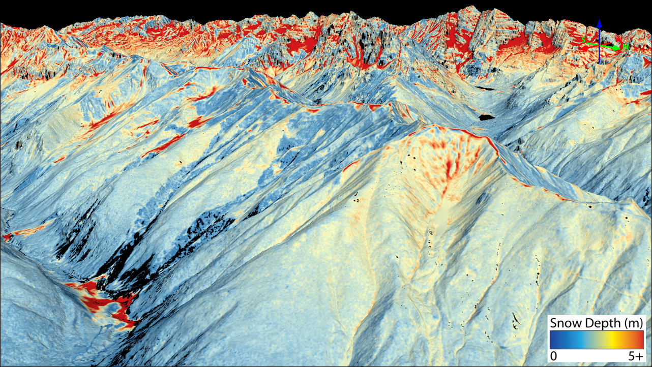
Data Products
ASO Snow Survey Data and associated data products will be posted here as they are released. Data is also available through the ASO Inc Data Portal here: https://data.airbornesnowobservatories.com/ (Free Login Required)
Data Products Include:
Snow Survey Data Reports (ASO Inc.)
Snowpack Model Data (M3Works)
WRF-Hydro Streamflow Forecasts (ASO Inc.)
All available snow survey and streamflow forecast reports are linked in the table below (All data back to 2021, sorted newest to oldest):
What is CASM? What is ASO? Read the FAQ here
The CASM Program plan and FAQ were completed in 2022 and are available for download under Documents > CASM Documents.
All data for 2022-2025 snow surveys and modeling outputs are available under Project Updates.
Since 2020, the Colorado Airborne Snowpack Monitoring Program (CASM), has worked closely with agencies across the state to develop a plan to fund Airborne Snow Observatory flights across Colorado, now and in the future.